Stunning Aerial Photos Reveal France’s Most Untouched Coastline

A new wave of aerial imagery is reshaping how the public sees France’s shoreline. Sweeping drone and helicopter photographs, widely shared across digital platforms, highlight stretches of coast that remain largely free of development. The images offer a rare perspective on rugged cliffs, wild dunes, and clear-water coves that are difficult to access by land.
Recent Trends
Aerial photography has become a standard tool for environmental documentation in France. Conservation groups, regional tourism boards, and independent photographers are increasingly using drones to capture high-resolution views of coastal terrain. The result is a growing library of imagery that emphasizes natural features over human infrastructure.

- Dedicated photo series and interactive maps showcasing "hidden" or "wild" coastlines have gained significant online traction.
- Media outlets and environmental NGOs have used such visuals to illustrate shoreline erosion and habitat change.
- Seasonal surveys, often timed to low tides or calm weather, produce markedly different views of the same coastline.
These visuals tend to circulate during spring and summer, when both travel planning and outdoor content consumption peak. However, the underlying interest in untouched landscapes appears to be year-round, driven by broader conversations about sustainable travel and overdevelopment.
Background
France’s coastline spans several distinct maritime regions: the English Channel in the north, the Atlantic along the west, and the Mediterranean in the south. Each has its own mix of protected reserves, working ports, and tourist developments. The areas featured in the recent aerial sets tend to share common characteristics: limited road access, restrictive zoning, or designation as natural reserves.
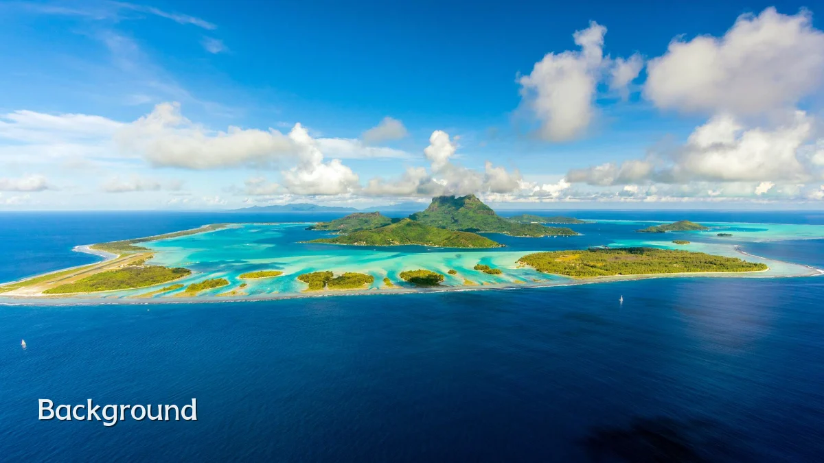
Many of these sites are part of the Conservatoire du Littoral, a public body that acquires sensitive coastal land to prevent construction. Others fall under regional marine parks or are bounded by cliff formations that naturally limit foot traffic. Aerial photography is often the only practical way to survey these zones without disturbing wildlife or fragile vegetation.
The "untouched" label, however, is relative. Few coastlines in continental France are truly pristine; most have historical traces of fishing, salt farming, or wartime fortifications. The recent photos highlight visual remoteness rather than complete absence of human activity.
User Concerns
While the images attract admiration, they also raise practical and ethical questions. Readers viewing the photos often ask whether visiting these locations is possible, permitted, or advisable. Clear answers depend on the specific site, but some patterns emerge.
- Access rules: Many protected coastal areas restrict landing zones for watercraft, enforce leash laws on trails, or close paths entirely during bird nesting seasons.
- Drone regulations: In France, recreational drone flights near wildlife, over people, or within certain natural reserves require prior authorization; some areas ban drones outright.
- Privacy and representation: Locals sometimes worry that photo-driven attention will draw crowds to quiet areas, while conservationists argue that publicity can build support for protections.
- Accuracy of imagery: Aerial shots can mislead — a small, wild-looking cove may sit just beyond a major resort or industrial port.
Photo captions and accompanying articles often omit these nuances, leaving viewers with an incomplete picture. Readers interested in visiting should cross-check any location against official zoning maps and regional nature reserve guidelines before making plans.
Likely Impact
The most immediate effect of the aerial series is increased visibility for lesser-known coastal stretches. This can produce both positive and negative outcomes, depending on how local authorities respond.
- Conservation awareness: Dramatic imagery can strengthen public support for funding marine protected areas and enforcing erosion-control measures.
- Tourism pressure: Widely shared photos may turn remote locations into day-trip destinations, straining narrow roads and fragile pathways.
- Policy attention: Officials in affected municipalities may issue clearer signage, parking restrictions, or seasonal access limits to manage any surge in interest.
Past examples elsewhere in Europe suggest that a single viral image or series can increase foot traffic by a noticeable margin within one to two seasons. The featured locations in France are generally not equipped for large visitor numbers, so any sustained interest will likely prompt management adjustments.
What to Watch Next
The trajectory of this story depends on how quickly official institutions respond to the public’s renewed interest in untamed shoreline. Several signals are worth monitoring.
- Official photo follow-ups: Regional natural parks may publish their own aerial surveys, either to confirm the beauty of these zones or to clarify access rules.
- Visitor data: Trail counters, parking records, and local accommodation reports in nearby villages will show whether the imagery translates into real-world traffic.
- Regulatory responses: Watch for updated drone rules, temporary closures of sensitive nesting areas, or new signage at featured overlooks.
- Long-form media features: Journalists may produce deeper investigations into how "untouched" designations align with formal legal protections.
As aerial technology becomes cheaper and more accessible, the number of such visual campaigns is likely to grow. The durable question for France’s coastline is not whether it looks wild from above, but whether that appearance can be maintained under the weight of the attention it attracts.