The Ultimate France Coast Photo Guide: Best Spots from Normandy to the Riviera
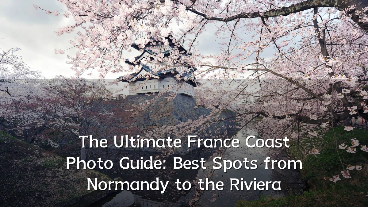
In the crowded ecosystem of travel content, the French coastline maintains a distinct visual magnetism. A new wave of photography guides is shifting focus from the classic postcard shot toward a more practical, nuanced view of shooting between Normandy and the Riviera. This analysis breaks down the recent shifts in coastal travel photography, the logistical realities photographers face, and how the region is responding to growing international attention.
Recent Trends in Coastal Photography
The approach to photographing the French coast has changed noticeably in recent years. Visual storytelling has moved beyond pure landscapes to include environmental context and creative techniques.
- Emphasis on off-season shooting: Photographers are increasingly targeting late autumn and early winter for dramatic light, stormy skies, and empty beaches.
- Fusion of adventure and photography: Coastal hikes and paddleboarding excursions are commonly integrated into shooting schedules for unique low-angle perspectives.
- Eco-conscious composition: There is a growing trend of documenting the coastline with a conservationist lens, capturing litter, erosion, and preservation efforts.
- Drone usage plateauing: While aerial shots remain popular, strict no-fly zones and privacy regulations are pushing creators back to ground-level, viewpoint-driven work.
Background: A Coastline of Contrasts
The geography spanning Normandy to the Riviera offers one of Europe's most varied photographic terrains. Understanding this diversity is crucial for scouting locations and predicting the best conditions.
| Region | Primary Characteristics | Ideal Shooting Conditions |
|---|---|---|
| Normandy | Towering chalk cliffs (e.g., Étretat), dramatic tides, historic harbors | High tide for cliff reflections; low tide for rock formations exposed on the beach |
| Pays de la Loire | Long sandy beaches, dunes, the mudflats of the Loire estuary | Golden hour for sweeping minimalist coastline shots |
| Nouvelle-Aquitaine | Arcachon Bay, the Dune du Pilat, and lighthouse architecture | Overcast days to emphasize texture and forested shoreline backdrops |
| Occitanie | Mediterranean lagoons, salt flats, and the rugged Cap d'Agde | Early morning for calm water and reflections in the salt flats |
| French Riviera | The Calanques, turquoise coves, and the glamorous seafronts of the Côte d'Azur | Mistral wind clears humidity, leaving deep blue skies and crisp visibility |
User Concerns and Practical Challenges
Photographers and general travelers alike often underestimate the demanding conditions of the French shoreline. A successful trip depends on anticipating safety, legal, and logistical hurdles.
- Tidal awareness: In Normandy, the tidal range can be extreme. Shooting at Mont Saint-Michel requires precise timing to avoid rapidly incoming water.
- Access restrictions: The Calanques National Park enforces strict trail rules, and some segments are closed during high fire risk season. Verify access points locally before hiking.
- Drone regulations: Unauthorized drone flights are prohibited over national parks, military zones, and many populated coastal areas. Permits are often required for commercial or even hobbyist use in restricted airspace.
- Gear protection: Salt spray and blowing sand are the primary hazards. Sealed bags, protective filters, and frequent lens cleaning are essential operational basics.
- Crowd management: Iconic instagrammable spots like Étretat's clifftops or the banks of the Calanques see heavy traffic by mid-morning. Plan shoots for sunrise or opt for inland hiking routes to reach alternative vantage points.
Likely Impact of the Guide
Comprehensive guides that connect distant regions have a quantifiable effect on how travelers allocate their time and resources. By linking Normandy to the Riviera, content shifts away from isolated viral hotspots and encourages multi-stop itineraries.
- Extended visitor stays: Highlighting the distinct visual identity of each region encourages longer road trips rather than quick, single-city visits.
- Economic dispersal: Structural guides push traffic away from over-saturated landmarks toward smaller harbors and mid-sized coastal towns that offer similar aesthetics with less congestion.
- Scheduling realism: By detailing weather windows and tidal constraints, visitors can better align travel dates with achievable photographic outcomes, reducing last-minute reshoots and disappointment.
What to Watch Next
The future of French coastal photography is tied directly to environmental volatility and regulatory shifts. Travelers should monitor several evolving factors.
- Coastal erosion: Shifting sands along the Atlantic coast and rockfalls on the Normandy cliffs will continue to alter landmark structures. Photographers may find that famous outcroppings look markedly different in the coming years.
- Environmental regulations: Expect tightened restrictions on drone use and wildlife disturbance, particularly around protected seabird colonies and native vegetation zones.
- Rise of slow-travel platforms: As long-form visual storytelling regains traction, there is likely to be a greater demand for guides that prioritize cultural context and natural history over quick, algorithmically favored posts.
- Adaptive climate logistics: Reduced summer rainfall patterns and higher temperatures in the south may shift the recommended shooting season further into late autumn, altering the traditional travel calendar.
For photographers plotting a course between the Channel and the Mediterranean, the planning phase is just as critical as the technical execution. Those who respect the tides, navigate local regulations, and look beyond the most famous scenic outlooks will find a coastline that remains as compelling to document as it is to visit. The evolution of this guide format suggests that future visitors will be better equipped not just to capture the scenery, but to preserve and respect it.