Drone Photos of Cotentin Coastline Expose Dune Erosion After Recent Storms
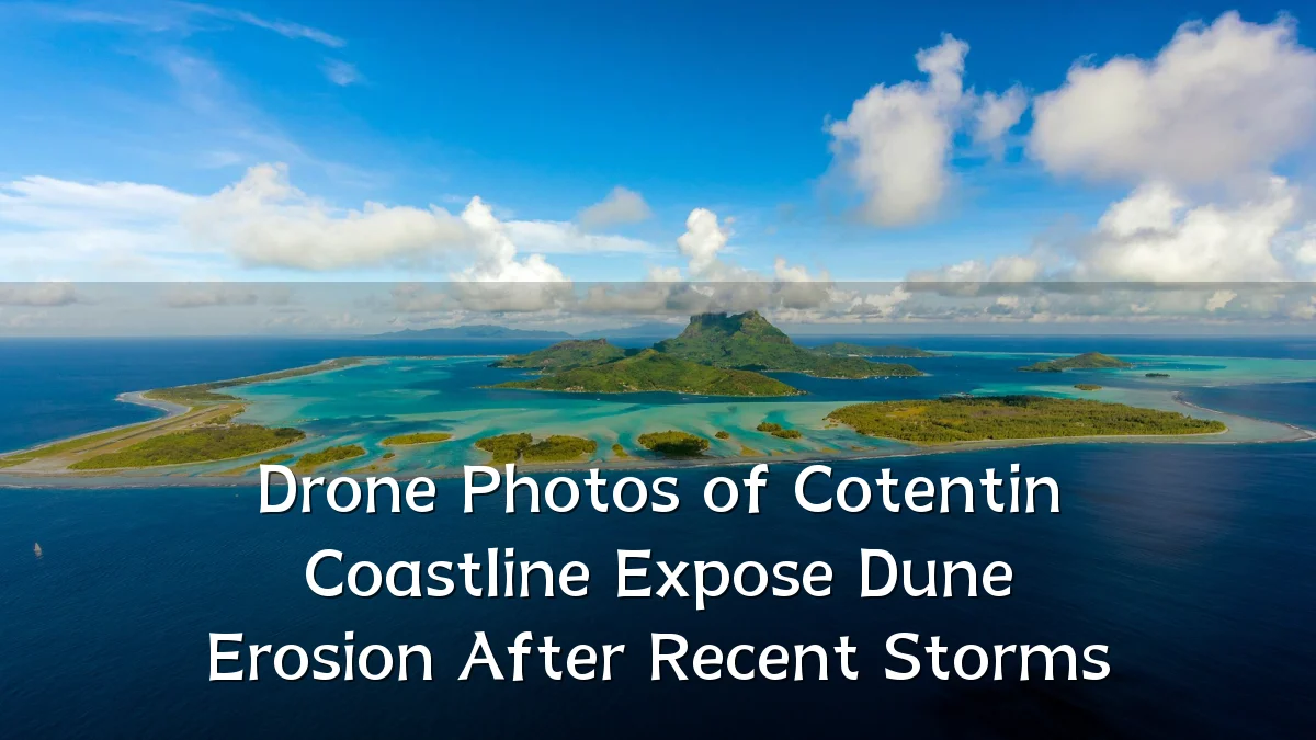
Recent aerial imagery captured by drones along the Cotentin coastline has brought renewed attention to the pace of dune erosion following a series of storm systems. The photographs, shared across local news and social media channels, show visibly receded dune fronts and exposed root systems in several sectors, prompting discussion among residents, local officials, and coastal management specialists.
Recent Trends in Coastal Monitoring
Drone-based surveillance has become an increasingly standard tool for assessing shoreline change in Normandy. Unlike satellite imagery, drones offer high-resolution, low-altitude views that can document scarping, overwash, and vegetation loss in near real time. The latest images from the Cotentin appear to align with broader seasonal patterns observed over the past several years.

- Repeated winter storm surges have contributed to stepped erosion fronts along exposed dune sections.
- Drone flights are now routinely deployed after major weather events to produce comparative before-and-after assessments.
- Local volunteer groups and municipal services have begun sharing aerial footage to document public access changes.
Background: A Coastline Already in Motion
The Cotentin peninsula features a mix of sandy dune systems, pebble banks, and low cliffs, with some stretches historically more stable than others. Dune erosion here is not a new phenomenon; it has been documented for decades. However, the combination of higher sea levels, shifting sediment supply, and storm intensity has made certain sectors increasingly vulnerable.

Management strategies in the area have typically involved a combination of dune reinforcement, access restriction, and natural regeneration. The recent drone photos are likely to be examined alongside existing topographical surveys to determine whether erosion rates are within expected seasonal variability or represent a step change.
User Concerns and Community Response
Public reaction to the images has focused largely on practical implications rather than alarm. Common questions raised in local discussions include the stability of coastal walking paths, the safety of nearby parking areas, and whether protective installations will be reinforced before the next storm season.
- Access to certain beach sectors may be temporarily rerouted where dune edges have become unstable.
- Residents near affected zones are seeking clearer information on long-term coastal defense plans.
- Some observers have noted that drone photography has made erosion more visible, leading to broader civic interest in shoreline management.
Likely Impact on Planning and Policy
The visual evidence from the drone flyovers is unlikely to trigger immediate emergency measures, but it may influence upcoming maintenance schedules and budget priorities. Local authorities typically weigh several factors when deciding how to respond to erosion events, including the presence of infrastructure, ecological value, and the cost-effectiveness of intervention.
In exposed dune sections lacking built assets, the more probable response is monitored retreat or continued natural reshaping. Where footpaths and small coastal facilities are threatened, temporary barriers or sand replenishment might be considered. The images also add pressure for more systematic data collection, as single-event photographs offer limited context without a longer monitoring record.
What to Watch Next
Observers should look for a few developments in the coming weeks. Follow-up drone surveys will be key to understanding whether the erosion has stabilized or progressed. Additionally, any official statements from coastal management authorities, typically issued after their own assessments, will clarify whether intervention thresholds have been reached.
- Comparative aerial images from the same drone flight paths, which would indicate short-term change.
- Weather forecasts for the remainder of the season, as additional storm events could accelerate further losses.
- Public notices regarding trail closures or adjusted beach access points.
- Updates to regional shoreline monitoring reports that incorporate the new photographic evidence.
For now, the drone photos serve as a timely visual record rather than a definitive forecast. They highlight a coastline in transition and underscore the value of regular, low-cost monitoring in informing how communities adapt to an increasingly dynamic shoreline.