Capturing the Cotentin Peninsula: A Photographer's Guide to Normandy's Hidden Gem
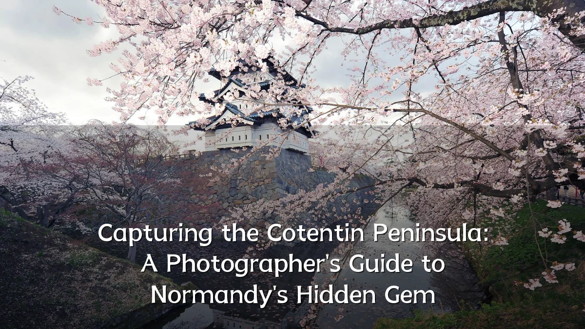
The Cotentin Peninsula, jutting into the English Channel off Normandy's northwest coast, has long drawn photographers in search of dramatic coastlines, medieval stonework, and the shifting light of the Channel. Recent discussions among travel photographers suggest the area is gaining wider attention as a less-crowded alternative to more famous French coastal regions, prompting a closer look at what makes it distinctive—and what photographers should consider before visiting.
Recent Trends
Interest in the Cotentin has grown within online photography communities, where the region is increasingly described as a destination for those seeking raw, unpolished landscapes. Common themes in recent photo-sharing conversations include:

- A shift toward slower, location-driven trips rather than checklist sightseeing.
- More attention to the peninsula's western shoreline, known for strong tides and dramatic skies.
- Rising use of weather-tracking apps and tide tables to plan shoots around optimal light and safe access.
- Increased awareness of drone restrictions, especially near military sites and nature reserves.
These trends reflect a broader movement among landscape photographers toward less-documented regions, where original compositions are easier to achieve than at heavily photographed landmarks.
Background
The Cotentin is defined by its maritime character and rural interior. Its western coast faces the Channel with exposed cliffs, sandy stretches, and the notorious tidal range of the bay region, while the eastern side is calmer and more sheltered. Inland, the peninsula offers hedgerow country, pastureland, and granite villages that have retained a distinctly Norman character.

Key subjects that typically appear in photographic coverage of the area include:
- The fortified town of Saint-Vaast-la-Hougue and its 17th-century watchtowers.
- The rugged headlands near Cap de la Hague, where granite meets the sea.
- Mont Saint-Michel's distant profile across the bay, visible from certain vantage points on the western edge.
- Historic harbors, fishing villages, and the remnants of Atlantic Wall fortifications scattered along the coast.
- The wartime sites of Utah Beach and the surrounding countryside, which carry significant historical weight.
Unlike more commercialized regions, much of the peninsula remains agricultural and quiet, which can be both an advantage and a challenge for photographers. Access to some viewpoints requires walking, and services may be limited in small villages.
User Concerns
Photographers considering the Cotentin typically raise several practical concerns. The region's climate and geography demand preparation, and local conditions can change quickly.
- Tides and safety: The tidal range is among the largest in Europe. Safe shooting windows on beaches or near headlands can be short, and rising water can cut off access to certain points. Checking tide tables before arranging a sunrise or sunset shoot is essential.
- Weather unpredictability: The peninsula receives frequent coastal cloud, wind, and rain. While this produces dramatic skies, it also means clear conditions are not guaranteed. Photographers should plan flexible itineraries and multiple backup locations.
- Drone regulations: Restricted areas exist near military installations, ports, and protected natural zones. Operators should verify current local rules before flying, rather than assuming open access.
- Privacy and property: The interior is working farmland. Gaining permission before photographing on private land or near farm buildings is both courteous and legally prudent.
- Accessibility: Several iconic viewpoints require walking longer distances on uneven ground. Those with limited mobility may need to prioritize accessible spots such as harbors and promenades.
Likely Impact
The growing photographic interest in the Cotentin carries implications for the region and its visitors. For local tourism, an increase in photographers and those inspired by their images may distribute visitor pressure more evenly across the peninsula, rather than concentrating it at a single landmark. This can benefit smaller communities that currently see modest tourist traffic.
At the same time, greater visibility brings preservation concerns. Fragile dune systems, intertidal zones, and historic structures can suffer from repeated foot traffic. Local authorities and conservation groups may respond with clearer signage, seasonal restrictions, or designated viewing areas—moves that could affect where and when photographers are permitted to operate.
On a broader level, the Cotentin's emergence in photographic content contributes to a more complete visual record of Normandy, shifting the familiar focus from the D-Day landing beaches to the wider landscape that surrounds them.
What to Watch Next
Several developments may shape how the Cotentin is photographed in the coming months and years.
- Access decisions: Any new restrictions or improved parking and trail infrastructure at popular headlands or beach sites will directly influence photographic itineraries.
- Climate and coastline changes: Storm patterns and rising sea levels can alter beaches, dunes, and cliff edges. Recurring photographers may notice gradual shifts in the landscape itself, making repeat visits valuable for documenting change.
- Local engagement: Workshops, photo walks, and community-organized guides may emerge as local businesses respond to the influx of photography-focused visitors.
- Technology and planning tools: Improved tide, weather, and light-prediction applications will likely make independent planning easier, reducing the need for on-the-ground trial and error.
For now, the Cotentin remains a destination for photographers willing to adapt to its rhythms—one that rewards patience, preparation, and a working knowledge of the sea.