Capturing the Cotentin: A Photographer’s Guide to the Peninsula’s Hidden Spots
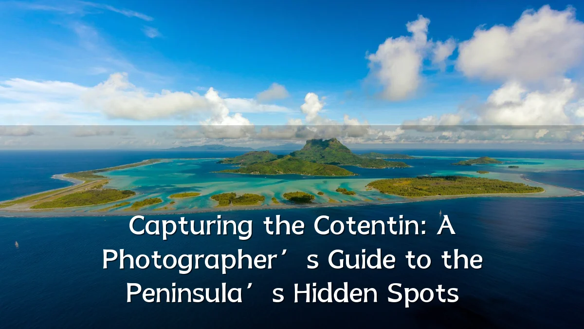
Interest in the Cotentin Peninsula has grown steadily among photographers seeking landscapes that do not resemble the postcard clichés of Normandy. The region’s mix of granite cliffs, marshland, military heritage, and working harbours offers a different kind of visual narrative. As photo catalogs and location guides circulate online, the question is no longer whether the Cotentin is photogenic, but how to approach its more elusive corners responsibly.
Recent Trends
The shift toward “slow travel” and visual storytelling has pushed photographers away from crowded coastal landmarks and toward lesser-known sites. Online photo catalogs now highlight the peninsula’s abandoned fortifications, tidal estuaries, and small fishing ports. These compilations tend to favour moody, overcast conditions rather than golden-hour clichés, reflecting a broader aesthetic preference for atmosphere over spectacle.

- Increased use of drone photography to capture the peninsula’s drainage channels and hedgerow patterns.
- Growth of location-sharing forums where photographers exchange GPS coordinates for discreet viewpoints.
- Seasonal interest spikes in late autumn and early spring, when light is low and tourist traffic is thin.
Background
The Cotentin is defined by contrasts: the sheltered eastern coast facing the Bay of Seine, the wild western shore toward the Channel Islands, and the central inland area of pastures and marshes. It includes well-known sites such as Utah Beach and the lighthouse at Gatteville, but the peninsula’s quieter appeal lies in its lesser-publicized features—chalk coves, tidal pools, and the granite massifs of the Hague region. Photographers looking for a catalog of locations will find that the peninsula rewards both preparation and patience, as many spots are accessible only on foot or by small roads.

User Concerns
Those assembling a photo catalog of the Cotentin commonly raise several practical issues. Tides are the most frequent concern; some beaches and island access points become unreachable within an hour of high water. Weather is another factor, as the peninsula experiences rapid changes from Atlantic fronts. Finally, drone usage is restricted in several areas, particularly near military remnants and nature reserves.
- Access: Some trails cross private farmland; photographers should follow local signage and request permission where needed.
- Light conditions: Coastal mist and low cloud can limit visibility, so flexible scheduling is essential.
- Footprint: Fragile dune systems and grass-covered bunkers are easily damaged; staying on established paths is advised.
- Navigation: Printed maps are often more reliable than mobile apps in poorly covered stretches of the peninsula.
Likely Impact
The spread of curated photo catalogs is likely to redirect some visitor pressure away from already busy sites. This can benefit local communities by drawing spending to smaller villages with cafés or guesthouses. However, increased exposure of hidden locations also carries a risk: sudden popularity may lead to parking congestion or environmental stress. The net effect depends largely on how the information is presented—whether it encourages respectful viewing or simply treats places as backdrops.
What to Watch Next
Photographers and tourism planners are paying attention to several developments that could shape future guides to the Cotentin. The introduction of digital mapping layers showing tide times and zone restrictions would make location catalogs more practical. Likewise, a move toward offline guidebooks with historical context could differentiate the peninsula from generic coastal photography routes. As platforms update their content policies around geotagging, the balance between accessibility and preservation will remain a key issue for anyone documenting this region.